

Access the NSTA's data downloads
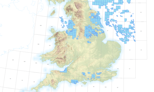
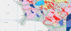
Offshore oil and gas activity
This mapping application helps the public understand UK continental shelf oil and gas, and carbon capture usage and storage activity. It includes, seismic lines, licences, wells, round awards, fields, infrastructure and more.
PDF Maps
Locate quadrants and download PDF maps containing oil and gas activity data at different scales (quadrant, regional, and UKCS).
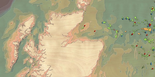
Carbon storage
NSTA data and maps related to UK carbon dioxide storage.
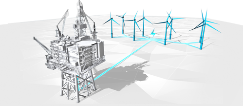
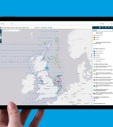
UKCS Lease Agreements
The UKCS Lease Agreements app provides information about all energy leasing on the UK continental shelf. It shows offshore renewable lease agreed areas by The Crown Estate and Crown Estate Scotland, as well as petroleum licences, fields and infrastructure, all in one place.
Onshore oil and gas activity
View oil and gas data for onshore England. The application includes information on onshore licences, wells, fields, field determinations, shale prospective areas and more.
Offshore oil and gas activity
This mapping application helps the public understand UK continental shelf oil and gas, and carbon capture usage and storage activity. It includes, seismic lines, licences, wells, round awards, fields, infrastructure and more.
UKCS Lease Agreements
The UKCS Lease Agreements app provides information about all energy leasing on the UK continental shelf. It shows offshore renewable lease agreed areas by The Crown Estate and Crown Estate Scotland, as well as petroleum licences, fields and infrastructure, all in one place.
UKCS Lease Agreements
The UKCS Lease Agreements app provides information about all energy leasing on the UK continental shelf. It shows offshore renewable lease agreed areas by The Crown Estate and Crown Estate Scotland, as well as petroleum licences, fields and infrastructure, all in one place.
NSTA virtual map gallery tour
Take a look at some of our most popular and newest maps; and get some hint and tips on how to use them.